

Testing soil safety after L.A. wildfires
Protecting Angelenos from dangerous contamination with free rapid-response soil testing. Our Contaminant Level Evaluation and Analysis for Neighborhoods (CLEAN) project is a USC program separate from L.A. Dept. of Public Health soil testing. CLEAN is funded by FireAid and LA Care.
Share this page
Reduce your risk, collect some samples, spread the word

Lead Interpretation Guide
For help understanding your results, recommendations for precautionary measures to reduce your and your family’s risk of exposure, and additional resources, please see our lead interpretation guide (en español aquí)

Sampling Guide
Learn how to collect your samples safely.

Hang a flyer!
Spread the word by hanging flyers in your community; free soil testing is available across L.A. County.
Samples Map
This map will be updated regularly as new samples are processed and analyzed.
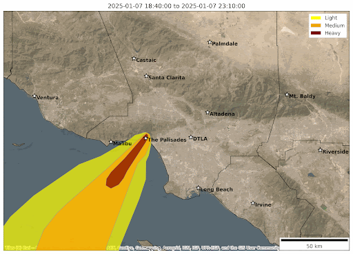
January 2025 Wildfire Smoke Map
The animation on the right represents the movement of smoke across the Los Angeles area between January 7 and January 24, 2025. Dark red patches represent extremely smoky conditions (“heavy” smoke) and yellow representing less smoky air (“light” smoke). This is an estimate of the smoke’s behavior—the boundaries between orange and red, for example, should not be interpreted too precisely. The team expects that areas that were covered in red and orange plumes, particularly over consecutive days, may have greater overall exposure to pollution from the fires.
Recent Updates
USC Dornsife Public Exchange welcomes climate leader with deep LA policy experience

New report on L.A. post-fire beach contamination finds something unexpected: good news
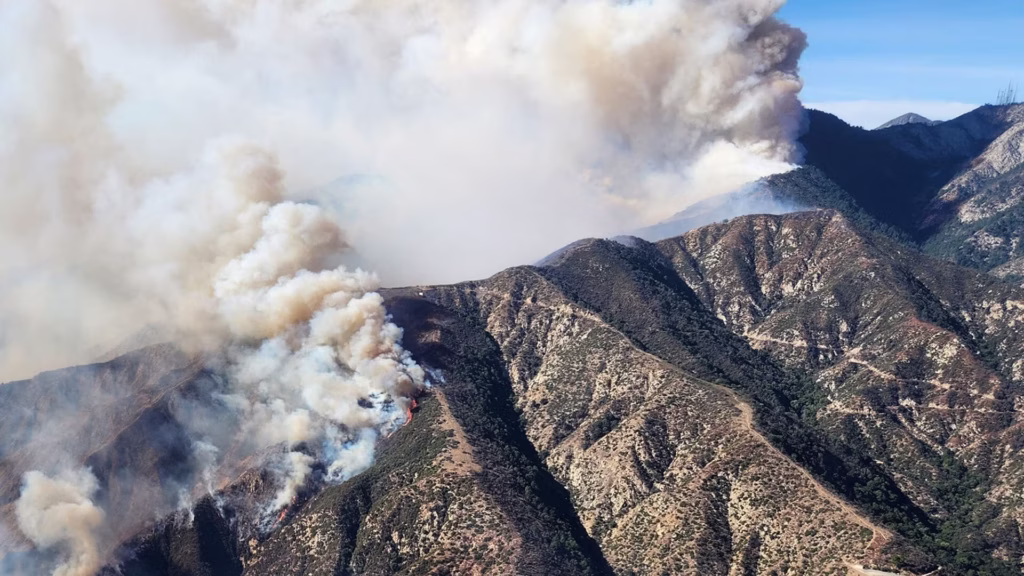
Eaton fire sent a pollution wave across Los Angeles
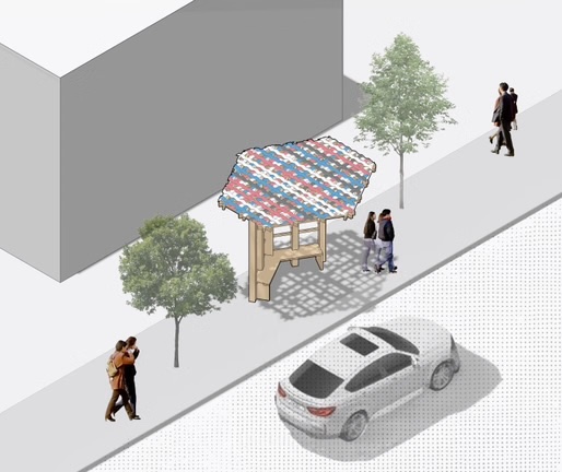
ShadeLA design contest winners envision a cooler Los Angeles (literally)
Related Projects

- USC
Testing L.A.’s oceans and rivers after the 2025 wildfires
Measuring water quality post-wildfires to understand potential health and environmental risks.
- USC
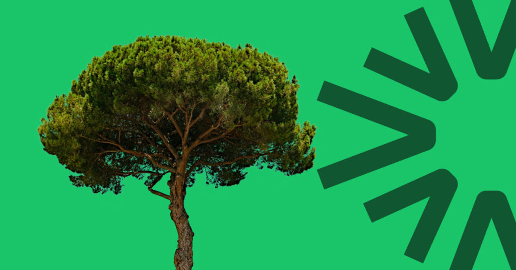
Greening L.A.’s hottest streets
Bringing more trees, shade, and fresh air to L.A. by identifying where, what kind, and how many trees to plant for the biggest impact.
- USC
Tracking climate stories on screen
Tracking how climate stories impact the TV and film industry—and how they shape audience perceptions of climate change.